Bellin map of the North sea 1768
CHART OF THE NORTH SEA. BELLIN, J. N. Carte réduite de partie de la Mer du Nord comprise entre l´Ecosse, le Dannemark, la Norwege et l´islande. Pour le service des vaisseaux Français. No place (Paris) Depot de la Marine, 1768. 631848.
- 2019-04-14 00:00:00
- Stockholms Auktionsverk
- Länk till objektet
Slutpris:1 400 SEK
Avslutade auktioner liknande Bellin map of the North sea 1768

Bowen map of the North Pole c. 1750
THE NORTH POLE. BOWEN, EMANUEL. A new & accurate map of the North Pole with all the countries hitherto discovered. Situated near or adjacent to Läs mer...
- 2019-11-14
- Stockholms Auktionsverk
- 1 000 SEK

Medaljer Nordstjärneorden Silver & Guld 1900-tal ...
Två medaljer tillverkade av silver & 18K Guld. Nordstjärneorden, Märkta: Nescit occasum. Bredd: 20 & 40 mm Konditionsrapport: Inga anmärkningar ------------------------- Medals Order of the Läs mer...
- 2022-12-01
- Norrlands Auktionsverk
- 1 600 SEK

Karta över Norden
Vägghängd karta över Norden. Kartografi, reproduktion & tryck Dr. Magnus Roth Mått: 210 x 155 cm Konditionsrapport: Märken, revor & bruksslitage, veck, inga övriga anmärkningar. Läs mer...
- 2022-12-01
- Norrlands Auktionsverk
- 550 SEK

Lisa Larson 'All världens barn' Gustavsberg 1900-...
Lisa Larson född: 1931 Skulpturer tillverkad av stengodslera och chamotterat stengods Glaserade och målade för hand Samlingen består av: * "Mei" från serien "All världens Läs mer...
- 2022-04-28
- Norrlands Auktionsverk
- 1 400 SEK

Map - Sea chart Bellin Atlantic ocean 1766
SEA CHART ATLANTIC OCEAN. BELLIN, Jacques Nicolas. Carte Reduite de l´Ocean Occidental. Quatrieme Edition. Paris, Depot de la Marine, 1766. Centrefold as issued, folds, spotting Läs mer...
- 2020-09-21
- Stockholms Auktionsverk
- 4 000 SEK

Bellin seachart North Sea
CHART OF THE NORTH SEA. BELLIN, N. Carte de la Mer D´Allemagne contentant les bancs isles et coftes comprifes depuis Bergen et les Isles Schetland Läs mer...
- 2019-04-14
- Stockholms Auktionsverk
- 1 000 SEK

Anson map of South America
MAP OF SOUTH AMERICA . ANSON, GEORGE. A chart of the southern part of South America : with the track of the Centurion from the Läs mer...
- 2020-09-20
- Stockholms Auktionsverk
- 2 400 SEK

A New Map of Part of the United States
JOHN CARY, "A New Map of Part of the United States of North America, containing those of New York, Vermont, New Hampshire...etc", 1806, dagermått ca Läs mer...
- 2019-02-22
- Stockholms Auktionsverk
- 600 SEK

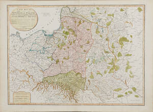
Map of Poland 1799
MAP OF POLAND. A New Map Of The Kingdom of Poland with its Dismembered Provinces and the Kingdom of Prussia, London, Laurie & Whittle, 1799. Läs mer...
- 2020-09-20
- Stockholms Auktionsverk
- 1 600 SEK

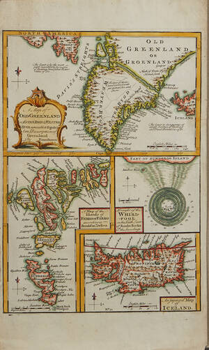
Bowen Grönland c. 1750
GREENLAND - ICELAND. BOWEN, Emanuel. A Map of Old Greenland or Öster Bygd & Wester Bygd... - A Map of the Islands of Ferro or Läs mer...
- 2020-09-09
- Stockholms Auktionsverk
- 1 600 SEK